MOD Alliance Webinar #3 - DiverSea News

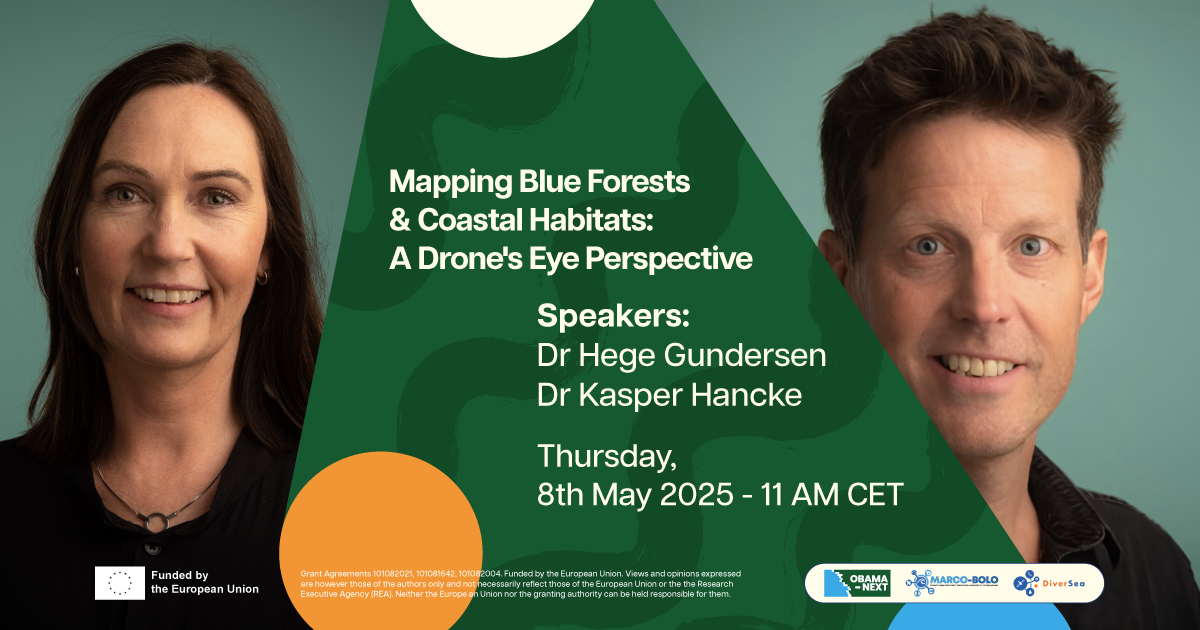
MOD ALLIANCE WEBINAR 8 MAY 2025 - MAPPING BLUE FORESTS AND COASTAL HABITATS: A DRONE'S EYE PERSPECTIVE
The latest installment of the MOD Alliance marine biodiversity webinar series, co-hosted with our sister Horizon Europe projects MARCO BOLO and OBAMA-NEXT will be held on May 8, 2025 at 11:00 CET.
For this webinar, we are very pleased to welcome Dr. Hege Gundersen and Dr. Kasper Hancke. The presentation will draw upon their extensive expertise in marine data management and biodiversity informatics.
Abstract
Flying drones offer a novel and cost-efficient technology for coastal habitat mapping. In the SeaBee infrastructure, we demonstrate that drones, when combined with sophisticated sensors and machine learning, can produce predictive maps of coastal vegetation, such as seagrass and macroalgae at centimeter-scale spatial resolution.
In the OBAMA-NEXT project, we are building on the SeaBee mapping procedures to adapt them to several learning sites across Europe and to upscale the drone-based products to regional scales using satellite remote sensing data. We are also developing methods to quantify the volume of blue carbon habitats using LiDAR technology from drones.
In this presentation, we will show some of the results obtained in OBAMA-NEXT and related studies, and how these methods can benefit mapping and monitoring efforts in Europe.
---> WATCH THE RECORDING HERE <---
View previous webinars
15 October 2024 - The OceanOmics program: monitoring & protecting ocean life - Dr. Eric Raes

