Navigation
Skip to Content
NTNU University Museum
Search
Menu
Exhibitions
Plan your visit
Research and Collections
Research infrastructure
About us
NTNU University Museum
Research and Collections
Research groups
TEMAR
Språkvelger
Norsk
TEMAR
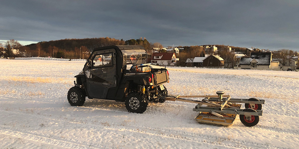
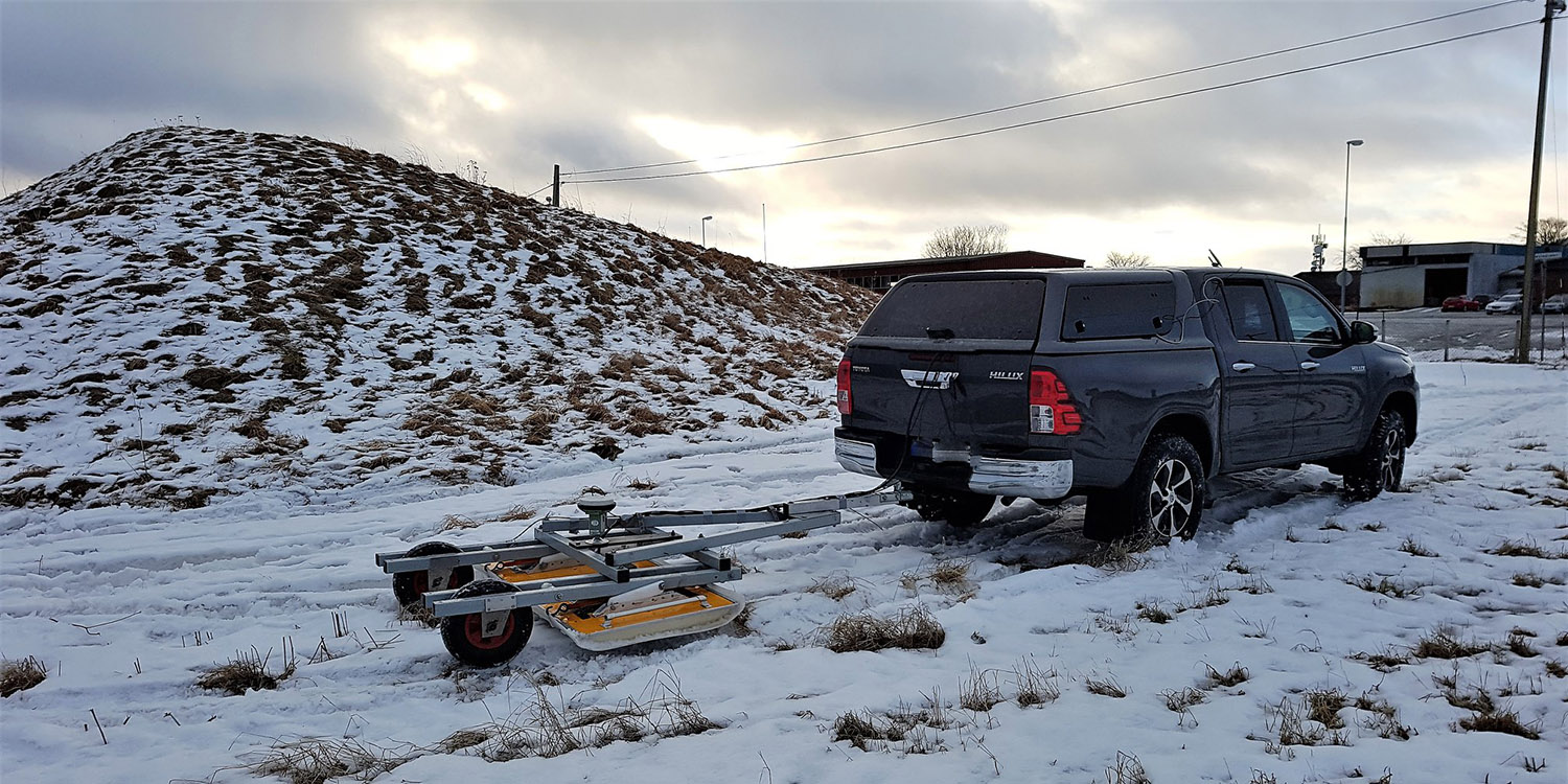
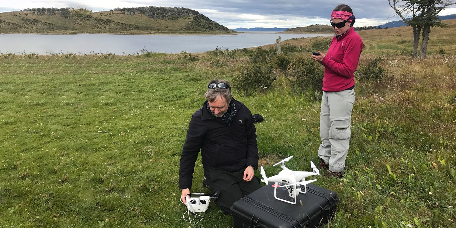
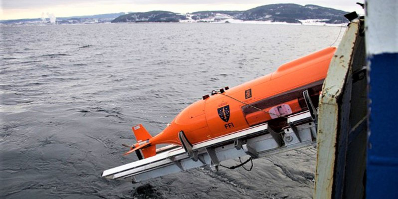
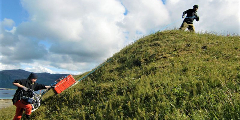
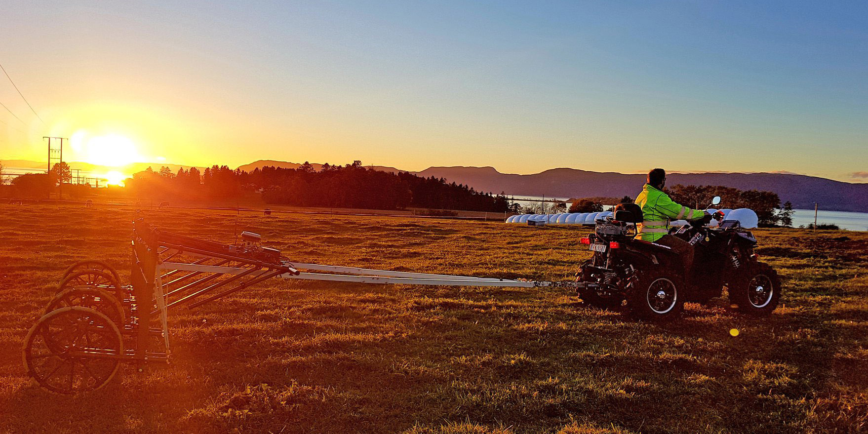
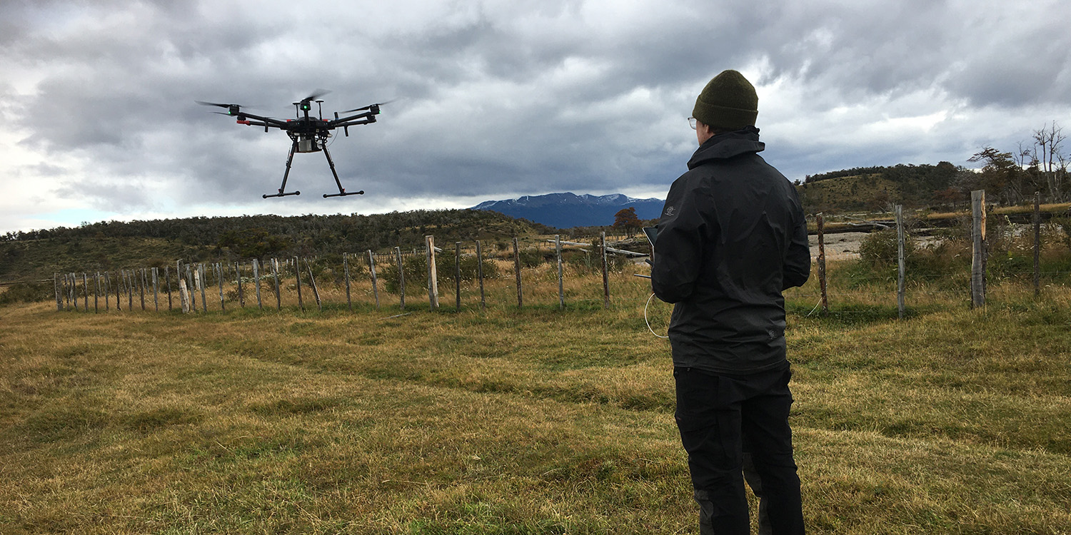
Terrestrial, Marine and Aerial Remote sensing for archaeology
Terrestrial, Marine and Aerial Remote sensing for archaeology
NTNU Remote Sensing (NTNU_RS)
Research activity
person-portlet
Ole Risbøl
Associate Professor
+47-73592298
+4794827086
ole.risbol@ntnu.no
Department of Archaeology and Cultural History
Menu
Menu
Home
Methods
Instruments
Conference/Workshop Organisation
TEMAR in social media
TEMAR in social media
ResearchGate
ResearchGate
TEMAR on ResearchGate
Associated members
Associated members
Krzysztof Kiersnowski
Jo Sindre Eidshaug